Cycling from Huamachuco to Shorey in Peru
On this day of my bike tour through Peru, I cycled from Huamachuco to Shorey. A challenging day given the terrain and conditions, but all part of the fun!
On this page
The road that didn't exist
Today was a bit of a mixed bag. It started off ok, when I left Huamachuco at 07.30, loaded up with 4 days food for the road ahead. A bit of an initial steep climb out of town, but things soon settled down, and wonderfully, there was a paved road.
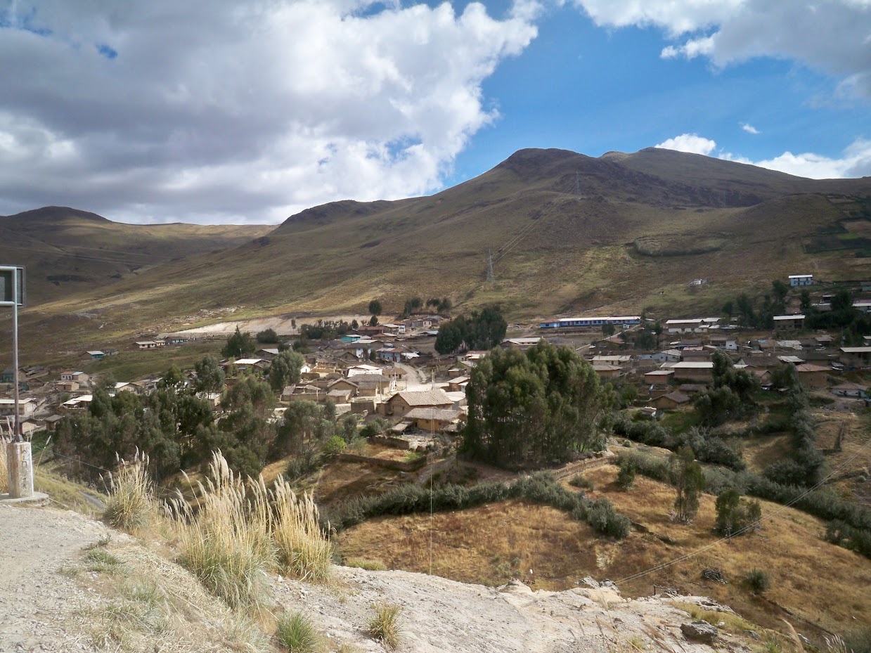
Down to Yamobamba, and that's where I had problems. It was at this small village I was supposed to turn left, and head up into the mountains on my short cut to Huaraz.
The only problem, was that of the dozen people I asked, no one knew about the road. There were a few random tracks leading off to the left, but the appeal of cycling for miles along a track with no firm idea of where it went, and the possibility it could dead end at anytime, was lost on me.
The general consensus of the people I asked directions from, was that I should carry on along the sealed main road to a settlement called Shorey, where there might, repeat might, be a way through to Huaraz from there. Great. A days planning down the drain.
Cycling at 4000 metres height in Peru
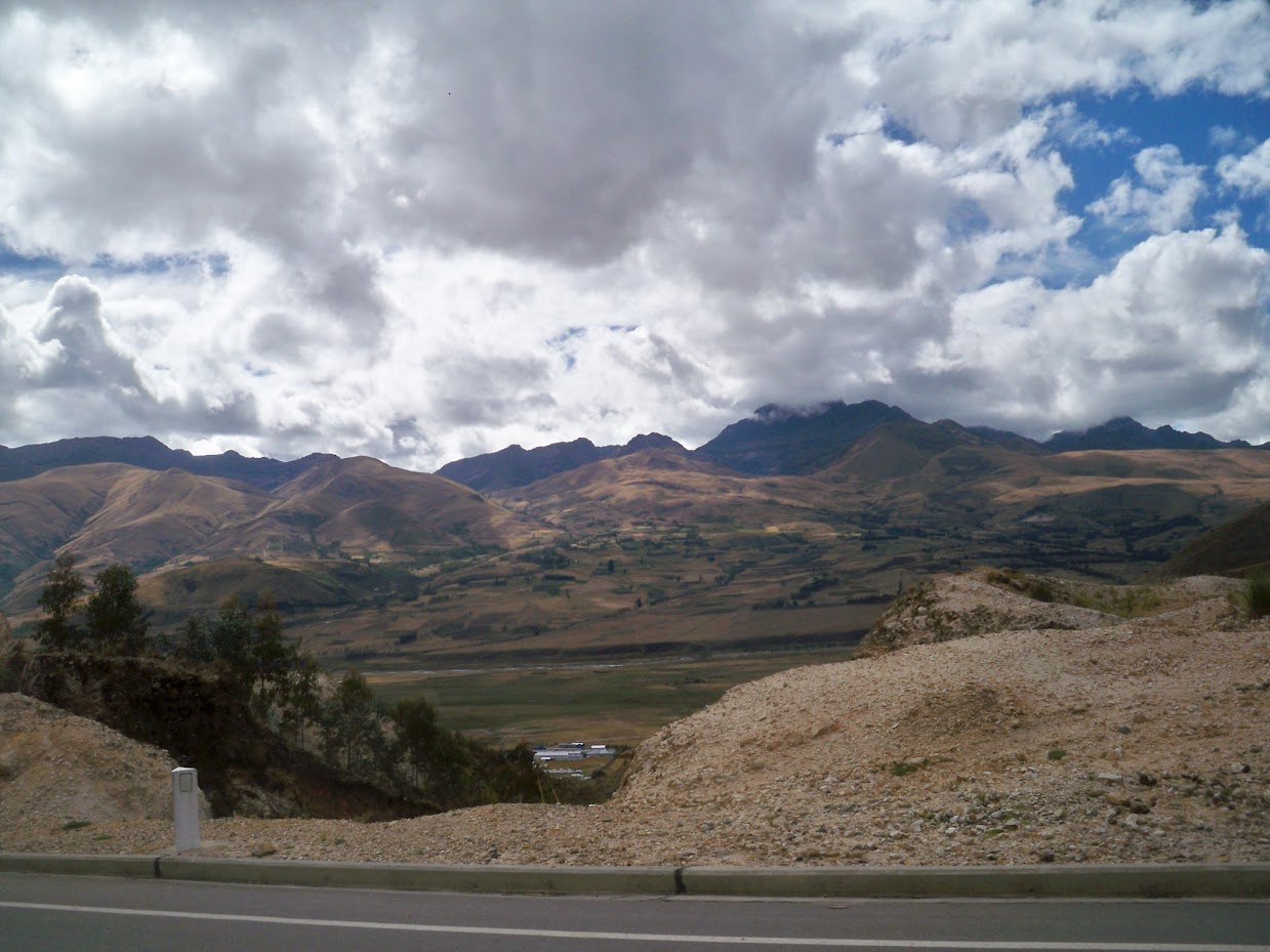
Still, as I looked over on my left, and saw the huge dark clouds sitting on top of the mountains, I couldn't help but think that maybe it was a sign. Certainly cycling on a sealed road is tonnes easier than cycling up a mud track in the rain!
So, it was on with the headphones for cycling, Slipknot selected, and away I went.
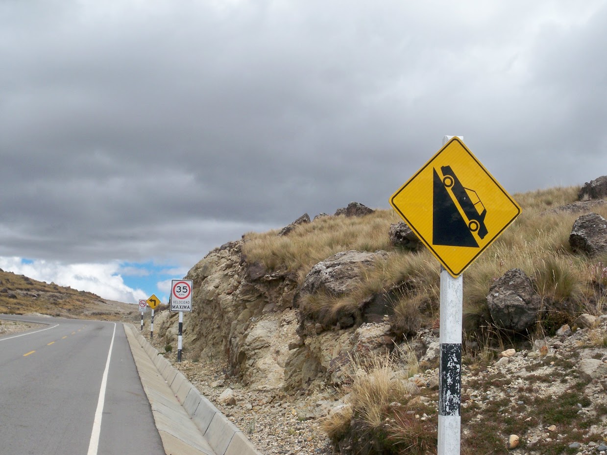
It was a long climb, up to the 4000 metre mark, where the road deteriorated into a gravel track, and I cycled along a rolling plateau that in one place touched up to 4200 metres.

A few lakes existed amidst the boulders and windswept tufts of grass.
Finally, a map to follow!
A downhill began, past one of the many mines in this area, before a short uphill into the settlement of Shorey.
I stopped off at the police station there, and the kind chaps they were, they drew me a map of a route to Huaraz. Bike touring navigation is all about flexibility and adaptability!
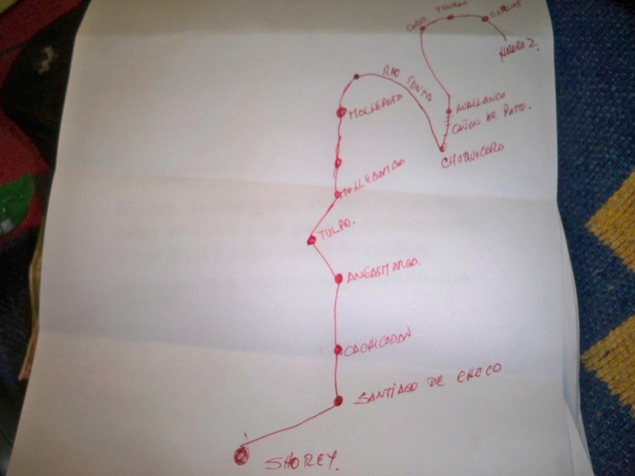
The route will actually go through many of the villages I had on my previous list, so by coming along the main road, I don't think I lost much distance, and actually, it would have made for easier cycling.
As a bonus, the police guy described a road that follows the Rio Santa, which if it is there and accessible, means that I will cut out a huge ascent to the town of Pallasca and subsequent descent back down to the river. I'll see when I get there.
Home for the night was a simple room in a hospedje, whose usual clientele is mine workers. They also did a rather nice evening meal which was just the job after 1400 metre elevation gain day.
At night, I replaced all four brake pads. The heavy braking involved in cycling over the Andes is taking its toll on my wheel rims, and they are scarred and dished out. I hope they last until the end of the trip. Quite cold up here, as I am at the 3700 metre mark.
Read more about cycling from Alaska to Argentina
Also read:
Dave is a UK travel writer living in Athens since 2015. With 20 years of firsthand travel experience and over 80,000 km of bicycle touring across six continents, he's been blogging at Dave's Travel Pages since 2005. Every guide is based on places he's actually been.
Get inside tips written by a local expert — island hopping itineraries, ferry know-how and hidden corners of Greece, straight to your inbox.
Subscribe to the newsletter